Home » Portfolio » Upgrading a Global Startup Ecosystem Map
Case Study Summary
Industry
Advertising & Marketing
Client
Innovation Economy Research Center
Location
Haifa, Israel
Project duration
12 months
Team
2 FTE
Services
Web Development,
GIS Development,
API Integration,
Code Refactoring,
Performance Optimization
Project overview
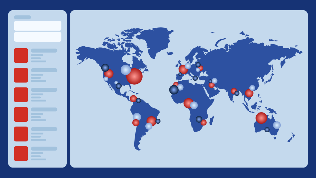
GIS Art partnered with an innovation-economy research center to enhance its global startup ecosystem map. The project improved performance for 80,000+ spatial objects, enhanced the UI and code quality, and added features like category filters and synchronized views. These updates streamlined navigation, improved usability, and increased user engagement.
Сhallenge
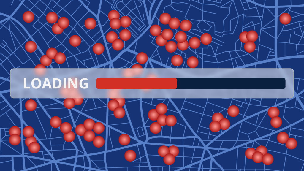
The innovation economy research center faced challenges with its global startup ecosystem map, including slow loading times and inefficient search functionality. Managing large datasets of 80,000+ objects strained performance, limiting usability and user satisfaction. They also needed to improve code quality and reinforce their in-house team with GIS expertise.
Their goal was to optimize the platform’s performance, enhance the user experience, and introduce new features like category filtering and synchronized views. These improvements were critical to attract more users, boost engagement, and drive revenue growth.
Solution
Our Approach
Comprehensive Analysis
We conducted a thorough analysis of the existing system to identify performance bottlenecks and areas for improvement. This analysis guided the strategic implementation of solutions.
Phased Implementation
The Agile methodology enabled incremental updates, minimizing risks and ensuring each enhancement was fully tested before deployment. All improvements were delivered in sprints to align with user needs and goals.
Feature Enhancements
We optimized performance, improved UI and code quality, and added new features, including category filters, synchronized views, and navigation tools like “Go Back” and “Reset” buttons, to enhance usability and streamline navigation.
Main Features
Clustering Mechanism: Server-side clustering to handle and display 80,000+ map objects efficiently.
Enhanced Search: Optimized search functionality for faster, more accurate results.
Category Filtering: Advanced filters to refine user searches by categories.
List-Map Synchronization: Seamless alignment between map and list views for a consistent user experience.
Navigation Tools: Added “Go Back” and “Reset” buttons to improve map navigation.
Data Integrity: Addressed issues with storing city data during startup creation for reliable data management.
Code Refactoring: Improved the code quality for better performance and maintainability.
The platform utilized a modular design to optimize data processing and ensure scalability. Map performance for large amounts of data was optimized via server-side clustering. The search functionality performance was optimized by using Node.js.
Business Outcomes
GIS Art delivered measurable improvements for the innovation economy research center:
Faster Performance: Backend optimization and spatial data clustering reduced loading times and enhanced responsiveness.
Improved Usability: Features like category filters and synchronized views created a seamless, user-friendly experience.
Increased Engagement: Enhanced functionality attracted more users, expanding the platform’s global audience.
Revenue Growth: Improved user satisfaction and broader reach resulted in increased profitability.
Future-Ready: Scalable design and improved code quality positioned the platform for long-term success and easy integration of future enhancements.
These results strengthened the center’s position as a leading resource for startup ecosystem insights.
Looking to optimize your business with GIS solutions?
As the CTO of GIS Art, I can help boost operations and enhance customer experience through efficient GIS implementation. Unravel patterns and actionable insights derived from spatial data. With over 15 years of software development expertise in Healthcare, Real Estate, Transportation, Logistics, and beyond, we can unlock the potential of your business.
Looking to optimize your business with GIS solutions?
At GIS Art, we help streamline operations and enhance customer experience through efficient GIS implementation. Uncover patterns and actionable insights derived from spatial data. With over 11 years of expertise in GIS software development for Transportation, Healthcare, Real Estate, and beyond, we can unlock the potential of your business.